Static
Land Cover in the Balkans
A detailed land cover classification map of the Balkans showing water, forests, croplands, built areas, and other land use types.
Sector: Environment
Back to my maps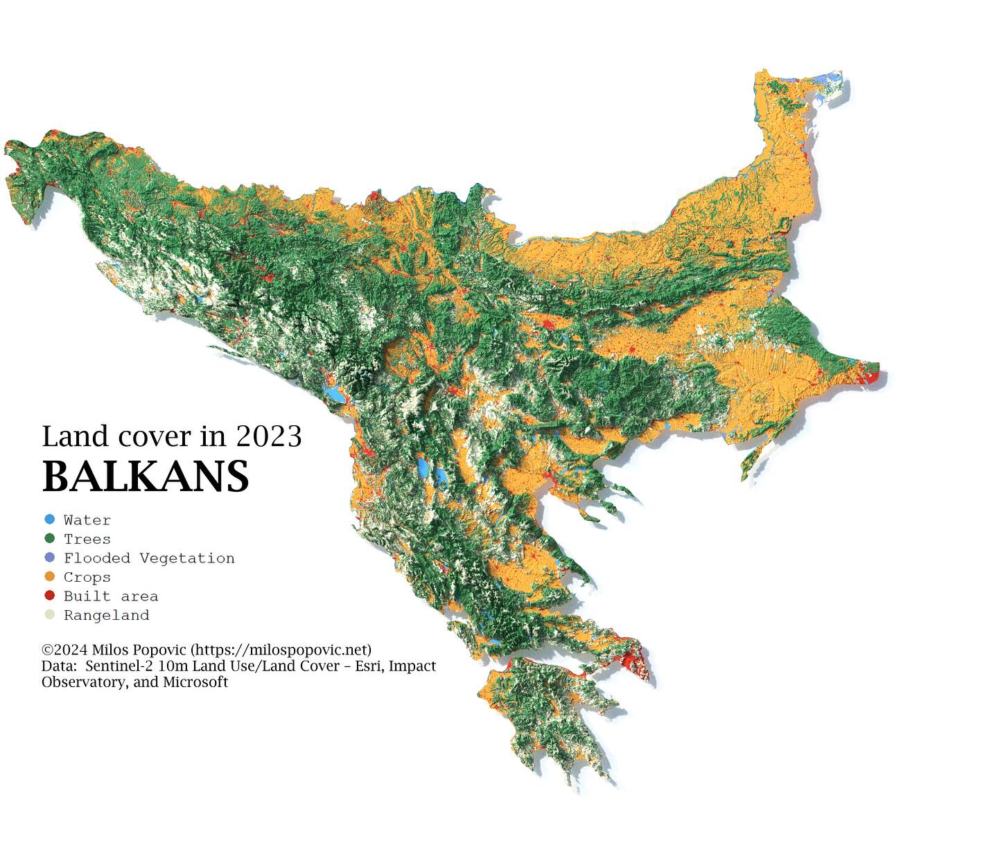
Land Cover in the Balkans
Brief
Problem
Understanding land cover distribution requires processing large satellite-derived datasets and presenting multiple categories in a clear, readable format.
Result
Outcome
A comprehensive land cover map that clearly distinguishes between forests, agricultural land, urban areas, and water bodies across the entire Balkans region.
Approach
Method
Used ESA WorldCover 10m data processed with terra package. Created custom color palette optimized for distinguishing land cover classes.
Scope
Deliverables
- Publication-quality land cover map
- Legend with all categories
- Processing workflow
- YouTube tutorial
Reception
Results & Impact
Used by environmental researchers studying land use change in Southeast Europe.
Source: Research citations (2024-07). Cited in environmental change studies for Balkans region
Stack
Tools & Data Sources
Tools
- R
- terra
- sf
- ggplot2
Data Sources
- ESA WorldCover
- Natural Earth
Elsewhere
Links
Work together
Want a map like this?
Let’s scope your project and define the fastest path to impact.