Teaching

Teaching & Training

Learn geospatial analysis and map-making through workshops, books, and free tutorials.

Books

Learn from my books

From ethical cartography in R to photorealistic 3D terrain rendering, these guides are built to be practical and reusable.

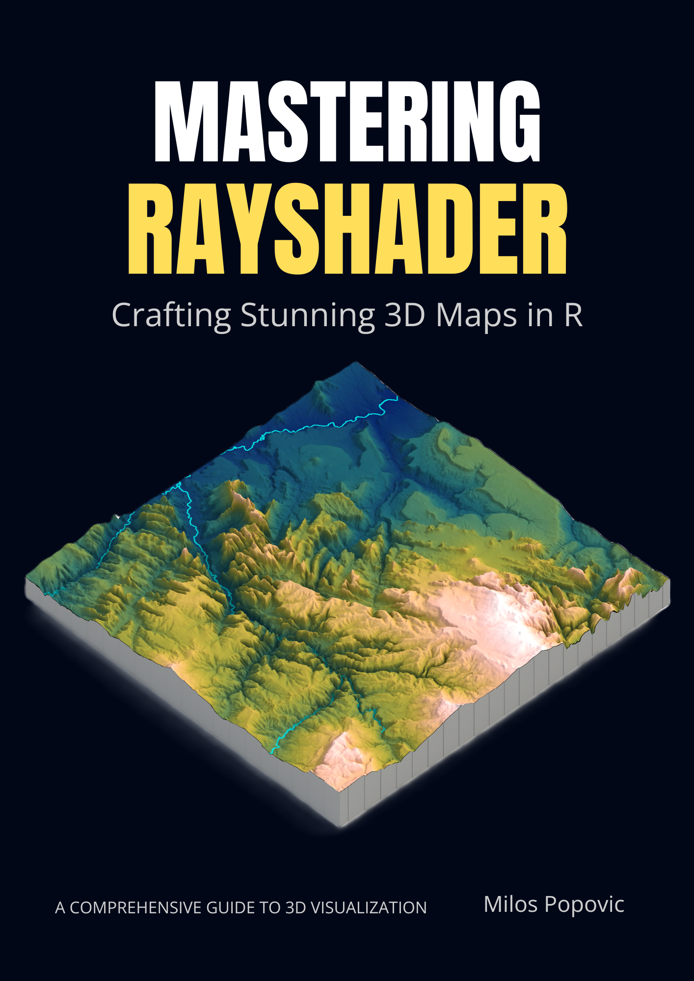
Mastering Rayshader: Crafting Stunning 3D Maps in R by Milos Popovic

3D Deep Dive

Mastering Rayshader

A comprehensive guide to crafting stunning 3D maps in R with 19 hands-on chapters covering terrain processing, photorealistic shading, HDRI lighting, web-ready renders, and animations.

  • Hands-on 3D workflows built around real terrain data
  • Photorealistic shading and HDRI lighting techniques
  • Polished map composition for web-ready exports
  • Animation-ready rendering workflows with annotated R code
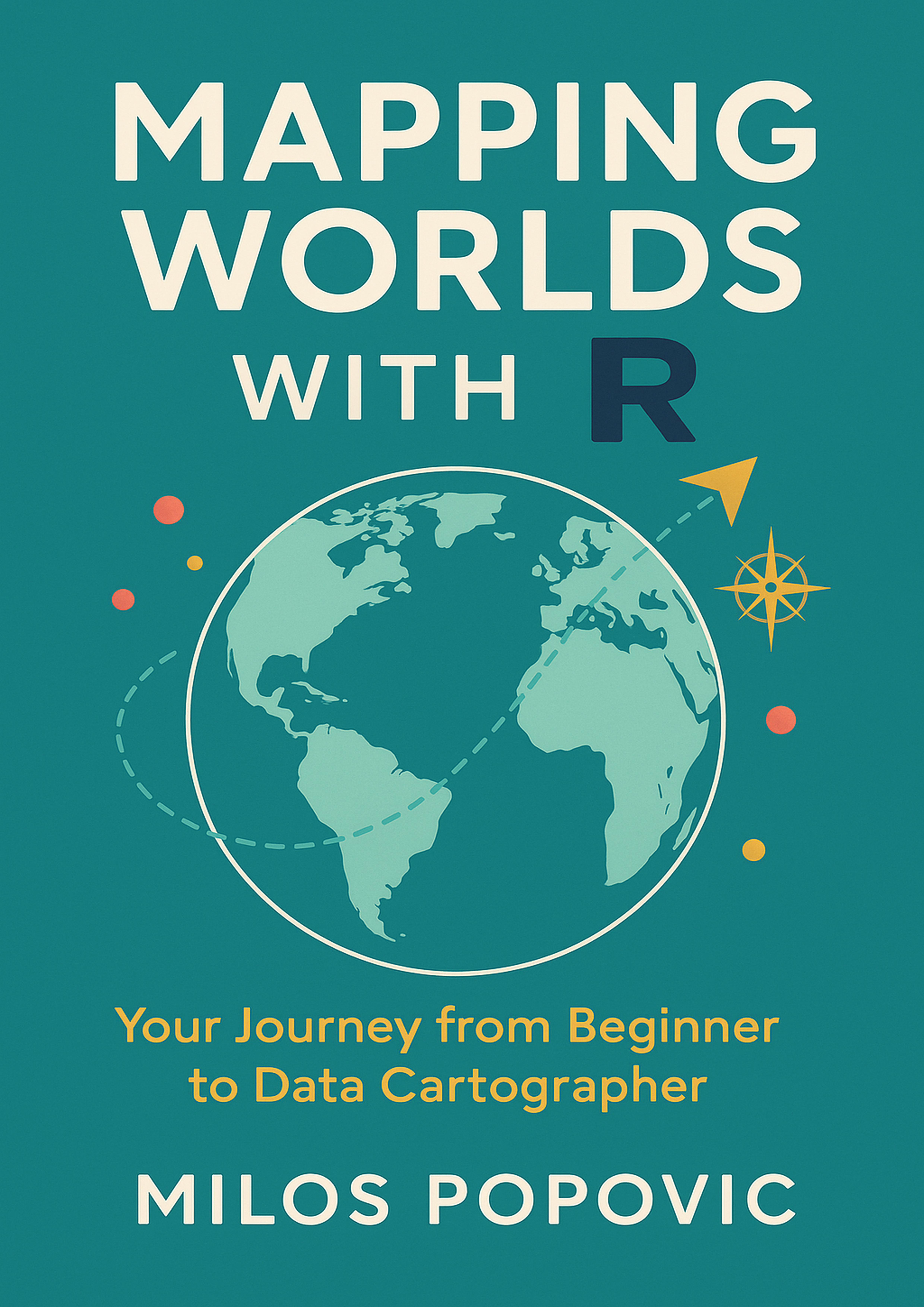
Mapping Worlds with R by Milos Popovic

Foundational Guide

Mapping Worlds with R

A practical, project-driven guide to making beautiful, ethical maps in R.

  • Step-by-step tutorials with real datasets
  • Production-ready code you can adapt
  • Best practices for ethical cartography
  • Companion GitHub repository included

Workshops

Custom Training for Teams

Hands-on workshops tailored to your organization's needs and skill level.

Introduction to Geospatial Analysis with R

Half-day · Beginner

Learn the fundamentals of working with spatial data in R, from reading shapefiles to creating publication-ready maps.

  • sf package basics
  • Reading spatial data
  • Basic mapping with ggplot2
  • Coordinate systems

Advanced Cartography with ggplot2

Half-day · Intermediate

Master advanced cartographic techniques using ggplot2 and sf packages for professional map outputs.

  • Custom color palettes
  • Map layouts & legends
  • Inset maps
  • Export for print

3D Terrain Visualization with Rayshader

Half-day · Intermediate

Create stunning 3D elevation maps and terrain visualizations using the rayshader package.

  • DEM data handling
  • 3D rendering
  • Lighting & shadows
  • Animation exports

Building Interactive Maps

Full-day · Intermediate

Create interactive web maps with Leaflet and ggiraph for engaging data presentations.

  • Leaflet in R
  • ggiraph interactivity
  • Popups & tooltips
  • Publishing to web

Team training

What Your Team Gets

Teams leave with templates, not just slides.

Reproducible Workflows

Your team learns to create maps that are version-controlled, reproducible, and easy to update.

Consistent Standards

Establish team-wide mapping standards, color palettes, and style guides.

Hands-on Practice

Each participant works on real exercises with immediate feedback and support.

Reference Materials

Teams receive documented code templates and resources to use after the training.

Need training for your organization?