3D
Population of Egypt
A stunning 3D relief map of Egypt showing population distribution along the Nile River, highlighting how settlement patterns follow the river valley.
Sector: Demographics & Geography
Back to my maps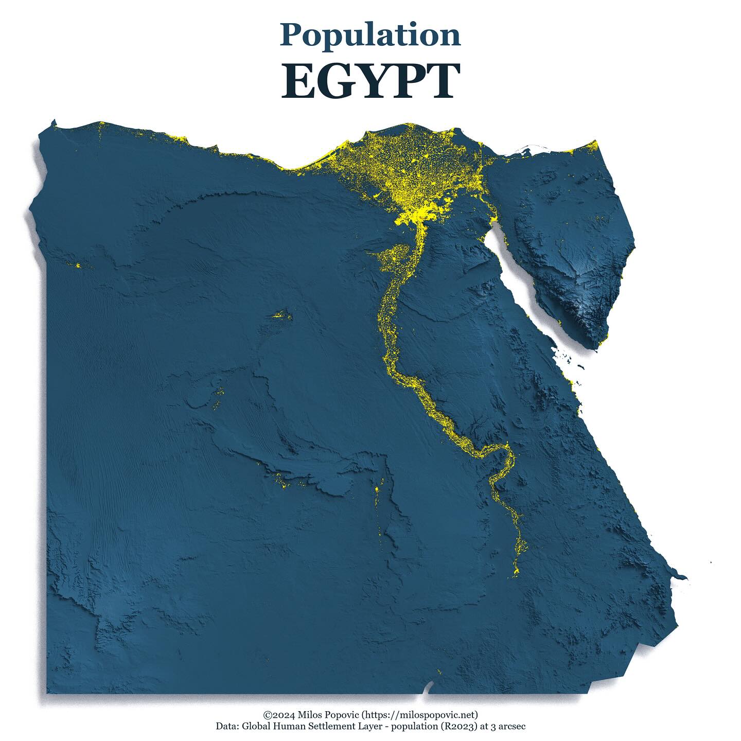
Population of Egypt
Brief
Problem
Egypt's population is uniquely concentrated along the Nile River. A 3D visualization dramatically shows this geographic constraint on human settlement.
Result
Outcome
A striking 3D population map that immediately communicates how the Nile defines where people live in Egypt, with population shown in yellow against blue terrain.
Approach
Method
Used rayshader package in R with Global Human Settlement Layer population data. Applied custom lighting and color scheme to emphasize population along the river.
Scope
Deliverables
- High-resolution 3D render
- Reproducible R code
- YouTube tutorial
Reception
Results & Impact
Popular example showing how geography shapes human settlement, widely shared in educational contexts.
Source: YouTube & Instagram Analytics (2024-10). Based on tutorial views and engagement
Stack
Tools & Data Sources
Tools
- R
- rayshader
- sf
- raster
- ggplot2
Data Sources
- Global Human Settlement Layer - population (R2023) at 3 arcsec
Work together
Want a map like this?
Let’s scope your project and define the fastest path to impact.