Static
Rivers of the Iberian Peninsula
A colorful watershed map showing the major river basins of Spain and Portugal, with each basin rendered in a distinct color.
Sector: Environment & Hydrology
Back to my maps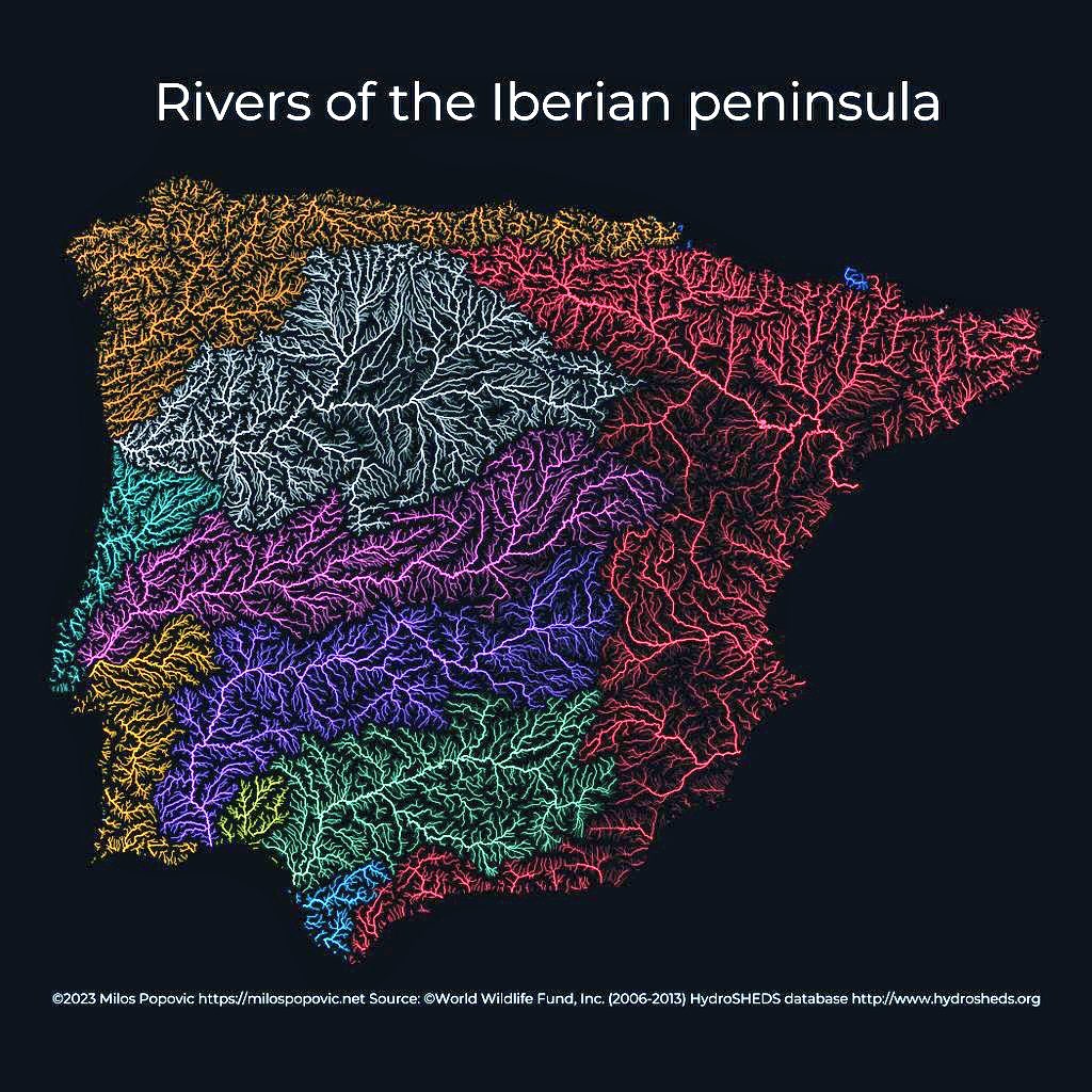
Rivers of the Iberian Peninsula
Brief
Problem
River basin maps are often cluttered and difficult to read. The challenge was to create a clear, aesthetically pleasing visualization that distinguishes individual watersheds while showing the complete hydrological network.
Result
Outcome
A striking river basin map that uses color to differentiate watersheds while the dark background makes the blue river lines pop dramatically.
Approach
Method
Processed HydroSHEDS data to extract river networks and watershed boundaries. Assigned distinct colors to each major basin using a carefully curated palette. Used sf and ggplot2 for rendering.
Scope
Deliverables
- Publication-ready map
- Web-optimized version
- Source code
- YouTube tutorial
Reception
Results & Impact
Featured by hydrology educators. Used in water resource management presentations.
Source: Academic citations & social shares (2024-09). Tracked via mentions in hydrology education forums
Stack
Tools & Data Sources
Tools
- R
- sf
- ggplot2
- HydroSHEDS
Data Sources
- HydroSHEDS
- Natural Earth
Elsewhere
Links
Work together
Want a map like this?
Let’s scope your project and define the fastest path to impact.